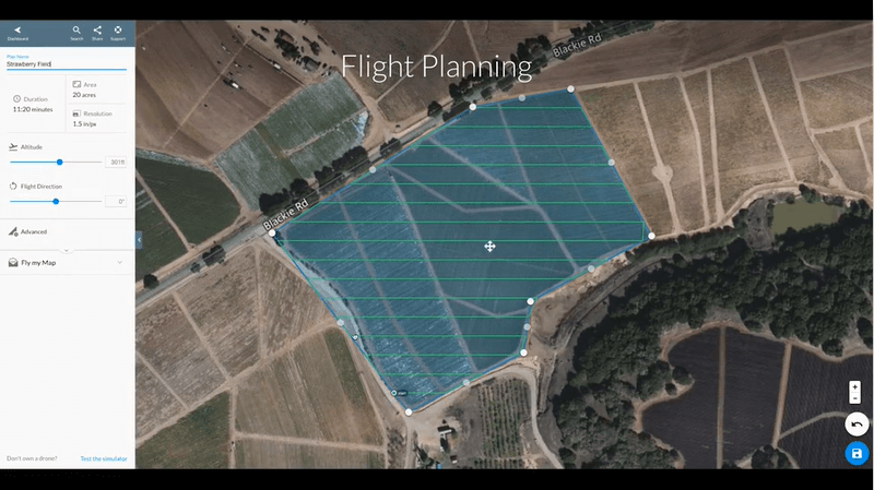
If you’re a drone pilot with one of DroneDeploy’s 5,000 global customers, then you already know why it’s the most powerful software for photogrammetry, inspections, GIS mapping crop analysis and much more.
Available on subscription basis depending on your project volume, DroneDeploy is the leading data solution for Agriculture, Solar, Construction, Mining and Energy and more.
With the newest software updates users now have access to new or expanded features:
- Enahnced Progress Reports
- Custom Web Layer Overlays
- Complete Mission Control — Flight & Ops in One Platform
- LAANC Authorization via Partnership with Airbus UTM
- Skydio 2 Integration
- Live Stream — Now GA
- Launch of DroneDeploy Academy
- SOC2 Security Certification
- Enhance Field Edge Processing in Live Map (especially for Mavic 2 series)
- 3D Quality enhanced, processing speed enhanced 10%
The adoption of drones to deliver enterprise solutions has increased significantly over the last few years specifically because of providers like DroneDeploy. The case studies provided on the DroneDeploy website (here) demonstrate a wide range of practical drone applications that across a range of industries.

The common denominator across all of them, from construction to farming, is the streamlined & enhanced reporting that leads to better management decisions and more profitable outcomes.
DroneDeploy’s flight app supports some of the best commercial drones on the market today for customers in ag, construction, oil & gas, mining and more. Recommended drones include the Mavic 2 Series, Phantom 4 Pro v2.0, Skydio 2, Matrice 200/210 Series and the Mavic 2 Enterprise Dual.
A complete list of compatible drones can be found here.


